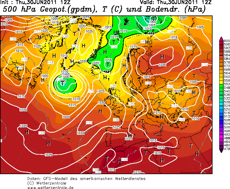
Sinoptička situacija:

Storm Forecast
Valid: Thu 30 Jun 2011 06:00 to Fri 01 Jul 2011 06:00 UTC
Issued: Wed 29 Jun 2011 22:00
Forecaster: GATZEN

A level 2 was issued for south-western Russia and north-eastern Ukraine mainly for excessive precipitation and tornadoes.

A level 1 was issued for western Russia, Belarus, the Baltic States and southern Finland mainly for excessive rain and tornadoes.

A level 1 was issued for Southern Poland to the northern Balkans mainly for large hail.

A level 1 was issued for Italy and the southern Balkans mainly for large hail.

A level 1 was issued for eastern Spain mainly for large hail and excessive precipitation.

SYNOPSIS

Low geopotential extends from the North Sea to the Black Sea. A north-westerly jet affects most of the Mediterranean. Over north-eastern Europe, a high is present.

DISCUSSION

South-western Russia, north-eastern Ukraine, eastern Belarus to the Baltic States

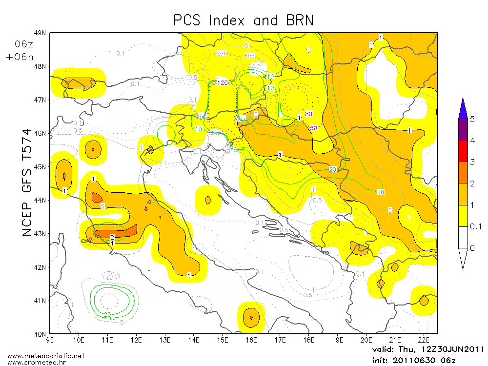
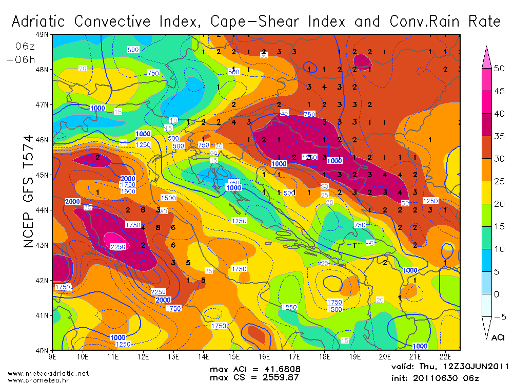
A strong easterly flow evolves between the high over the northern parts of Europe and the trough centred over the western Ukraine. Warm air advection sets in from the east and a strong low-level jet is expected to develop that will probably reach 25 m/s at 850 hPa. In the warm air advection regime, a convergence zone is expected over the northern Ukraine between rather warm air masses over Russia and cooler air over the Ukraine that extends north-eastward across Belarus to the Baltic States. Moisture pooling is forecast along this convergence zone and the low-level mixing ratio is expected to be 11-13 g/kg in the lowest kilometre. Additionally, reasonable steep lapse rates are expected to spread westward and will overlap with the rich moisture. Daytime heating is expected to result in CAPE values reaching 1000 J/kg.

The strong convergence assists for storms through-out the period that are expected to merge into MCSs that move north-westward. Excessive precipitation is forecast with these storms given the humid air and the continuous forcing as the storms move almost parallel along the convergence line.

Tornadoes are forecast to be another main threat. Through-out the period, strong low-level vertical wind shear will overlap with the instability over a broad area especially over south-western Russia. 0-1km bulk shear is forecast in the 15-20 m/s range with 200 m²/s² SRH by latest GFS in the evening hours. Especially isolated storms are forecast to become well-organized and tornadoes are expected that may be strong. Farther west, the tornado potential decreases due to weaker low-level vertical wind shear.

Besides the rain and tornado risk, large hail and severe wind gusts are not ruled out, especially in the northern and eastern portions of the risk area, where the boundary-layer is expected to be better mixed and storms will be more isolated. Later in the period, severe wind gusts are expected along the gust fronts of MCSs that propagate north-westwards into Belarus and north-western Ukraine. Excessive precipitation and tornadoes may occur through-out the night hours.

Southern Poland to the northern Balkans

The trough over the North Sea moves south-eastward and merges to the eastern trough later on. At lower levels, the cold air mass over Germany will accelerate at the eastern flank of a low centred over Romania. On Thursday, the cold air mass will be located to the west of a convergence line from central Poland to Hungary and will advect rapidly south-eastward. Current thinking is that the low-level cold air advection will limit the thunderstorm potential. The best chances for stronger storms are forecast from southern Austria to Serbia ahead of the cold air as well as near the convergence from central Poland to Hungary.

Given weak winds at mid-levels, storms will likely be slow-moving and may cluster. Locally large hail and excessive precipitation is not ruled out. Later in the period, strong north-westerly winds are forecast to develop especially in the cold air behind the main cold front that spreads into the northern Balkans. Near the convergence line to the east, some instability may overlap with the strong north-westerly flow at 850 hPa, and a tornado is not ruled out. Current indications do not prefer such a scenario, though.

Eastern Spain

At the southern periphery of the North Sea trough, a north-westerly jet streak will travel across Iberia. Daytime heating over the central regions is expected to result in steep lapse rates that will spread eastwards. Along the coasts, moist low-level air of the Mediterranean Sea is forecast to spread westwards given a thermal low over Iberia. Upslope flow and low-level convergence are forecast to overlap with the steep lapse rates and favourably vertical wind shear. Supercells are forecast capable of producing large hail and locally excessive precipitation. Isolated severe wind gusts are not ruled out. Storms are forecast to decay in the evening hours.

Italy to southern Balkans

A rather strong north-westerly mid-level flow is expected, and deep layer vertical wind shear will be around 15 m/s. The affected air mass is unstable given rather rich low-level moisture and steep mid-level lapse rates. Storms are expected to develop during the day and may become supercells, capable of producing large hail and severe wind gusts. Storms are forecast to decay during the night hours.

Northern Sweden and surroundings

At the western flank of the high pressure area, a warm air mass experiences upslope flow along the Scandinavian mountains. Current indications are that some low-level moisture and diurnal heating will result in weak instability. Thunderstorms are forecast to develop at the noon hours. Given a strong southerly mid-level jet, these storms will move quite rapidly northward and may organize. Locally large hail and severe wind gusts are forecast, but the threat seems to be too marginal for a risk level at this time.
oko 13:30 h približavanje cumulusa congestusa sa sjeverozapada, kasnije se razvio u cb calvus
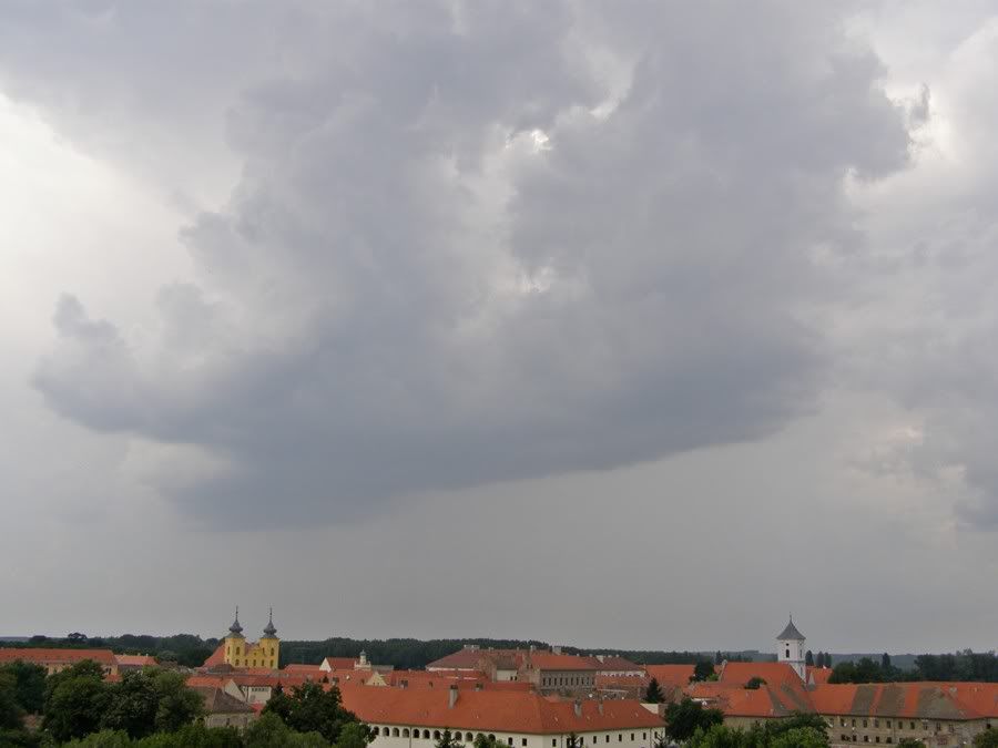

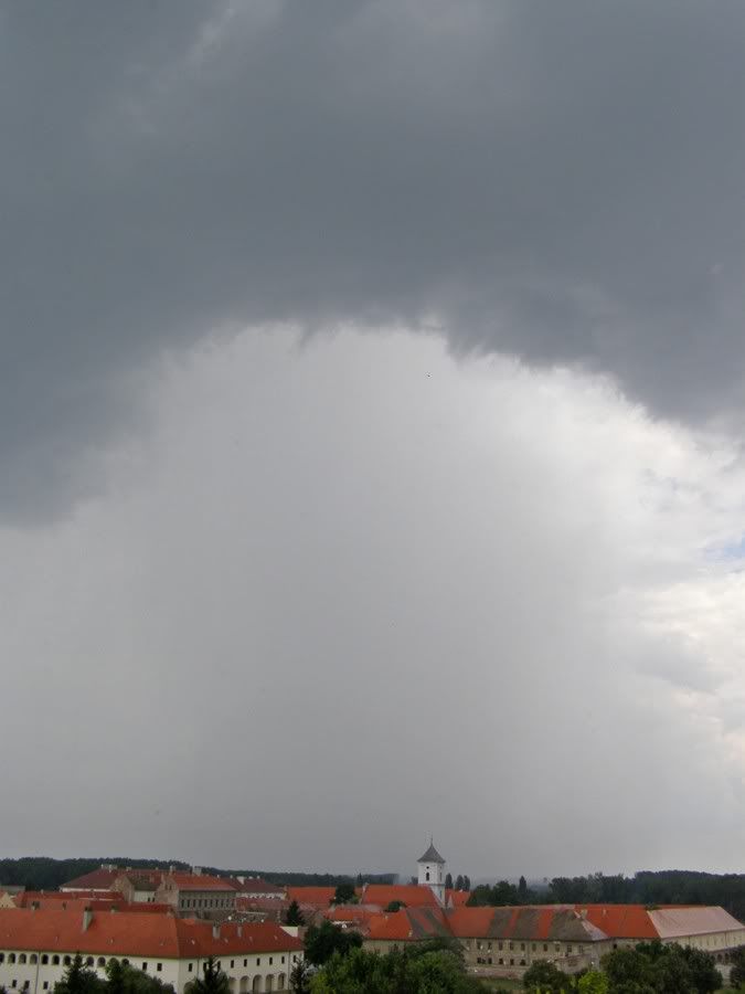
Pljusak uz umjeren/jak vjetar
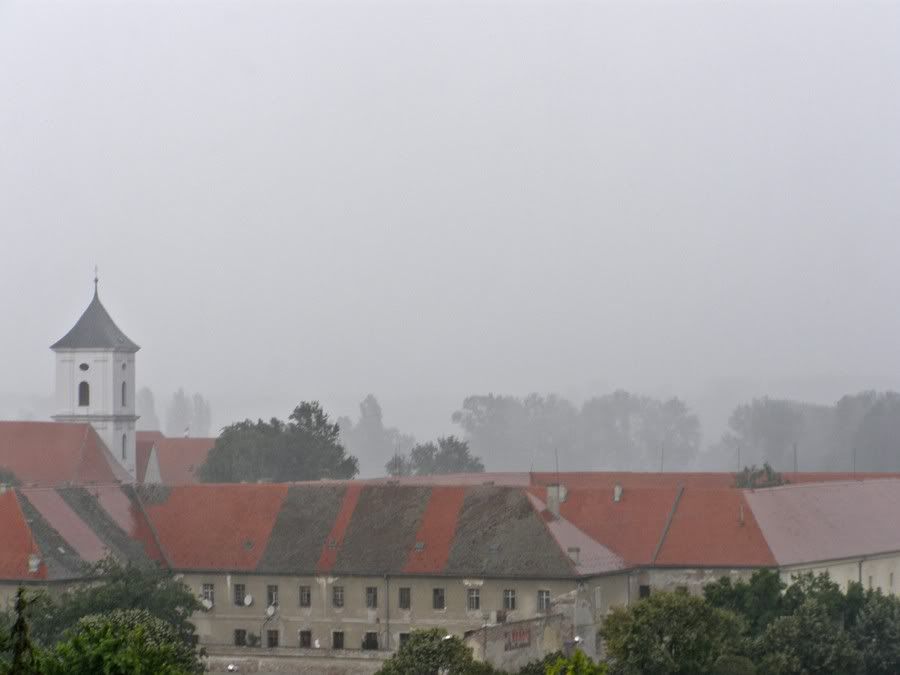
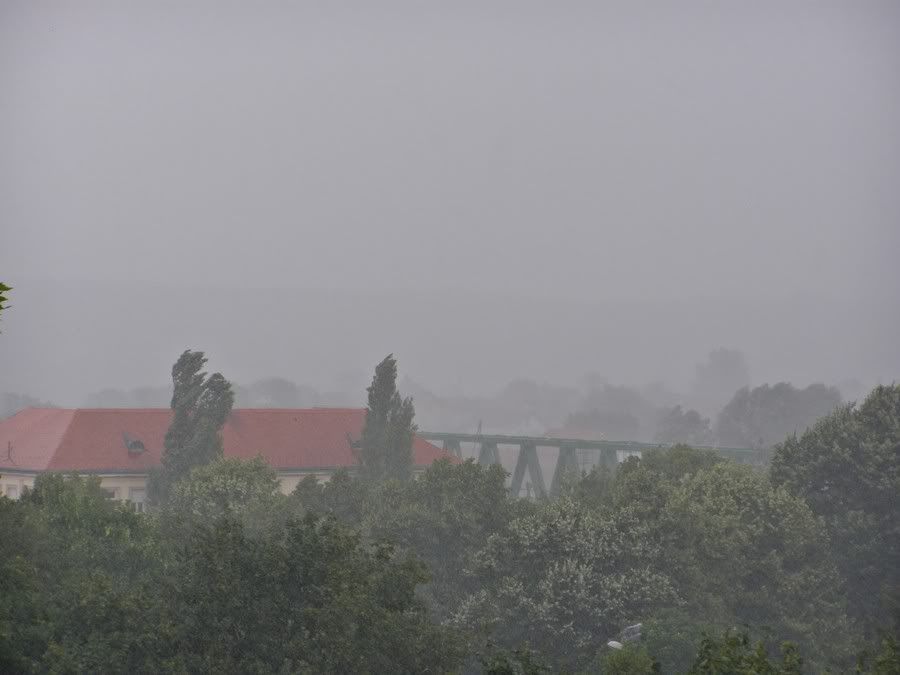
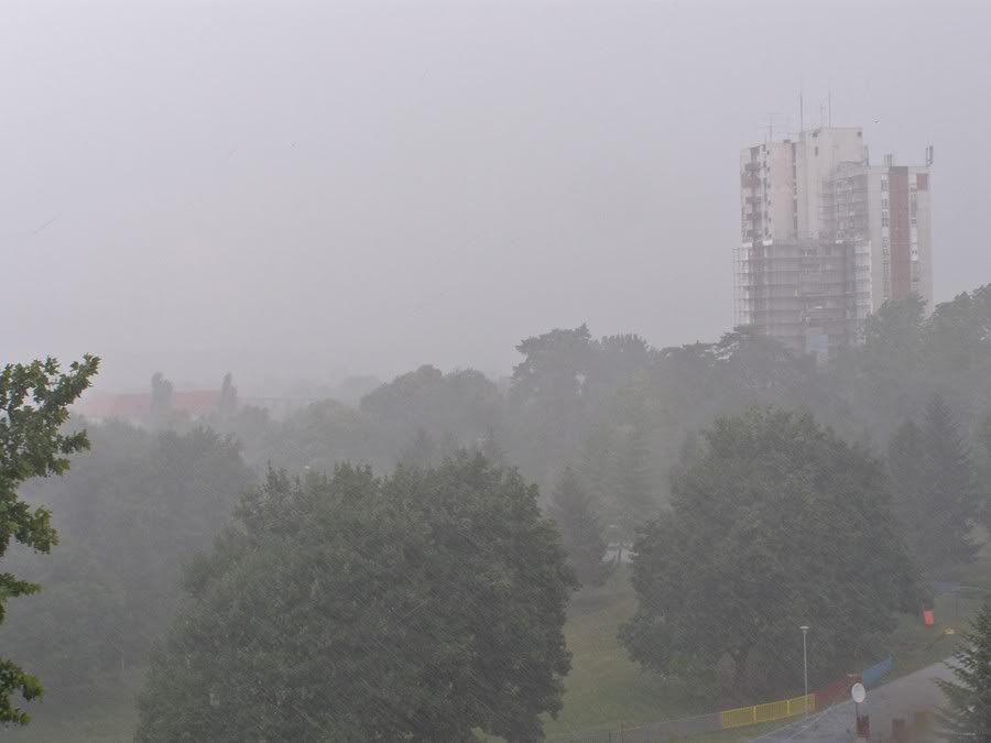
radar, mala žuta jezgrica:

Nakon pljuska usljedila su sunčana razdoblja te je bilo dosta sparno. Kasnije je vlaga od isparavanja pripomogla da oluja nad Osijekom ojača.

Daleko prema sjeverozapadu/sjeveru nadzire se olujni sustav u Mađarskoj:
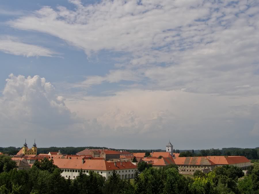
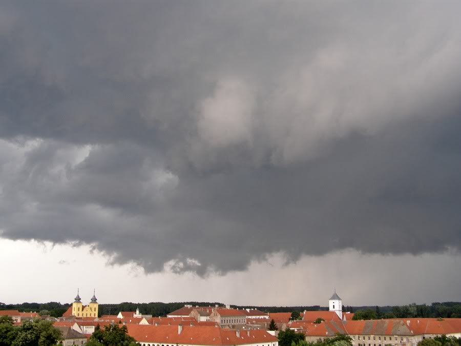
Kako se približavalo atmosfera je izgledala sve opasnije:

Početak stvaranja cb arcusa (shelf cloud):
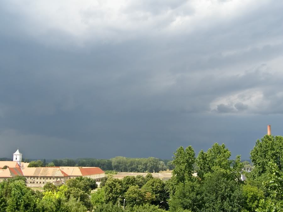
Velikom brzinom se razjačalo:
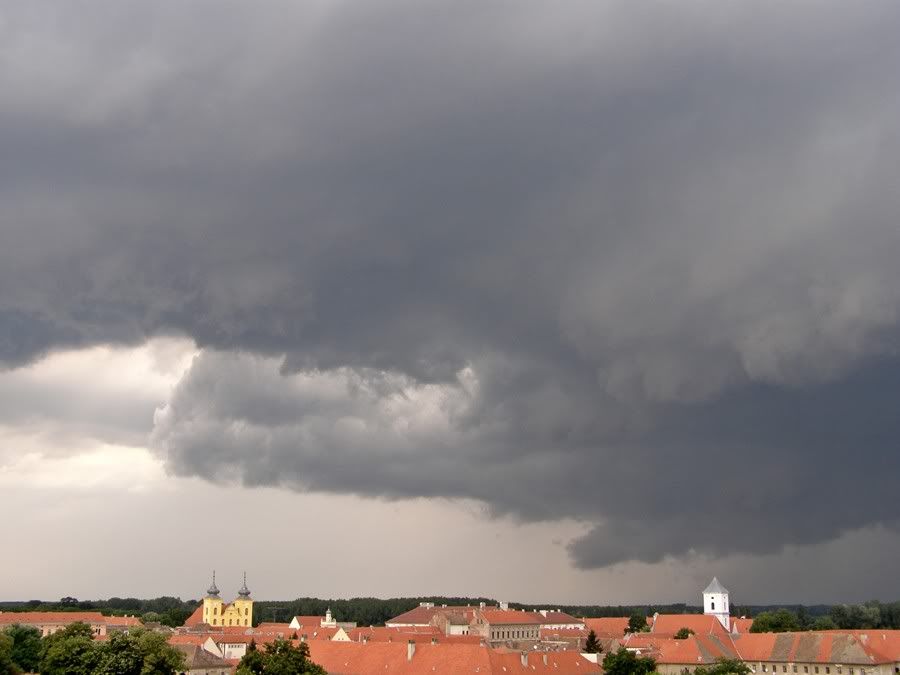
Gornja baza oblaka kretala se u desno a donja u lijevo što znači da se vjerovatno radilo o superćelijskom oblaku:
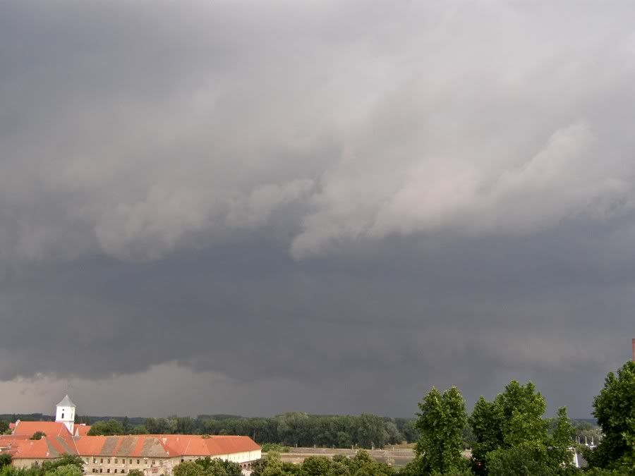
prikaz kretanja:

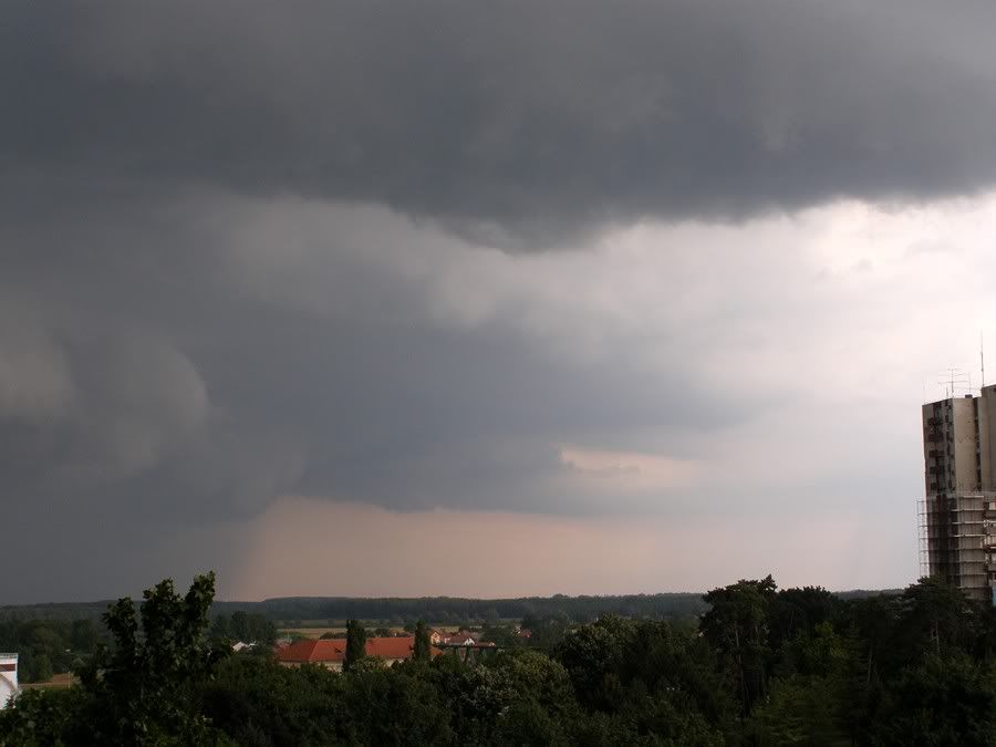
Bijele zavijese udaljini:
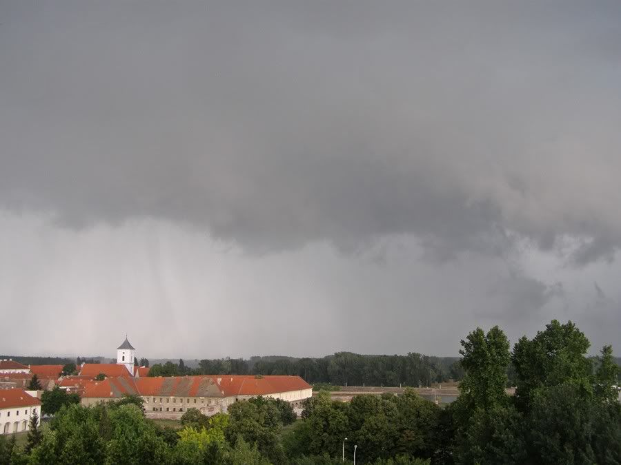
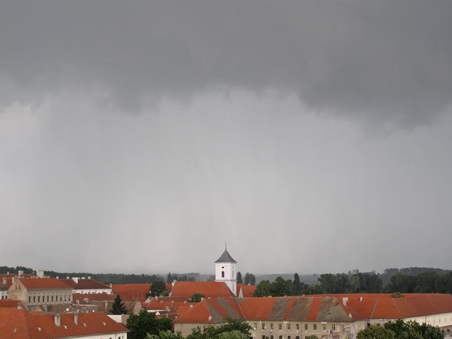
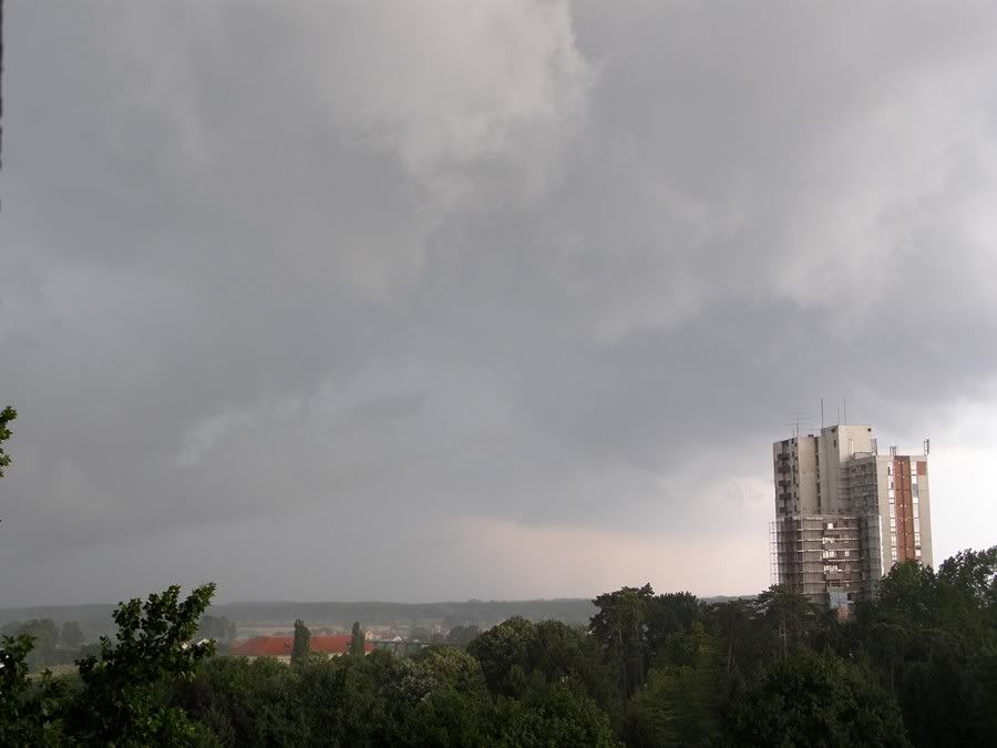
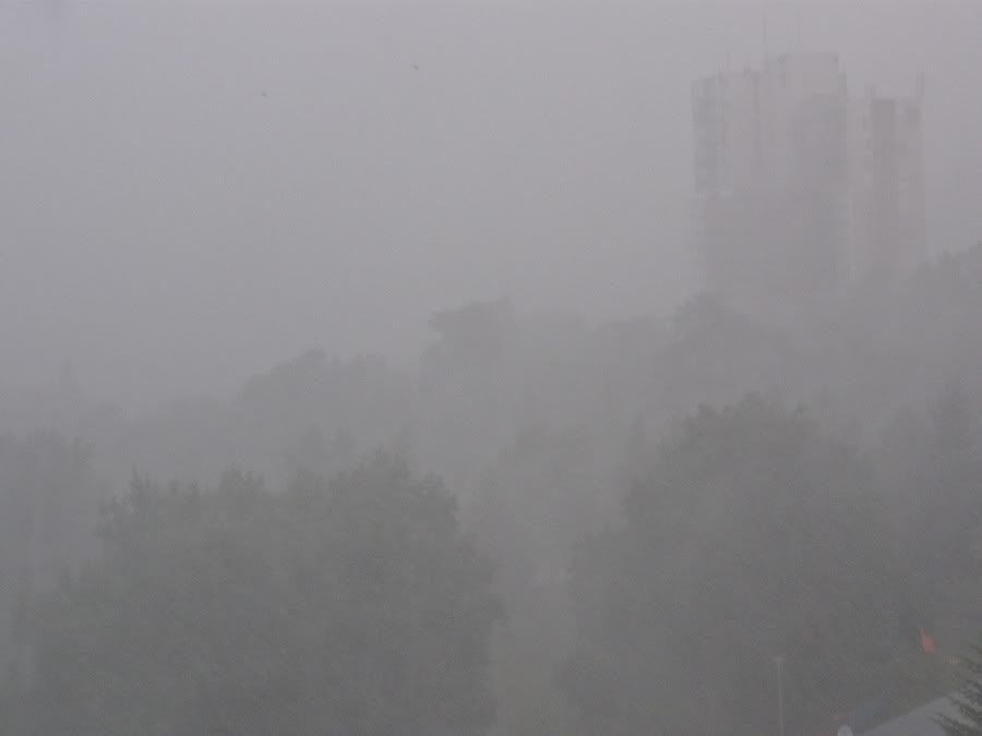
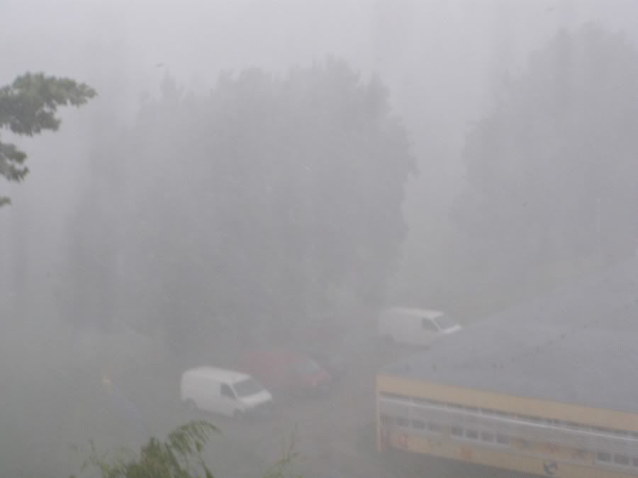
oko 15:30 h početak proloma oblaka uz jak do olujan vjetar, tuča je padala 10-ak minuta veličine graška, rijetko i lješnjaka.
Ovakav intezitet oborine se rijetko viđa:
radar:

Video:
Nakon pljuska:




Bilogora animacija 1

Bilogora animacija 2


