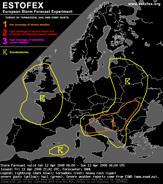
Evo šta Estofexijanci kažu za sutrašnje pljuskove s grmljavinom u našoj zemlji

... N Mediterranean ... N Balkans ...
Though the steep lapse rates of the EML will act to reduce the stability over eastern Europe, limited low-level moisture will likely limit the amount of CAPE. Also, the air mass will be thoroughly capped. However, convection will likely develop along the thermal gradient at the E edge of the warm-sector air mass. It seems that the steep lapse rates will be somewhat displaced from the frontal region towards the south and east, and it is not believed that the thermodynamic profiles will be very conducive to severe weather in the immediate environment of the front. However, ample shear is expected, with 0-6 km bulk magnitudes exceeding 35 m/s. Though this may be inhibitive to long-lived, erect updrafts given the weak thermodynamic support, some cells may develop mid-level mesocyclones, which could pose some threat for marginally severe hail and strong outflow winds, though especially over the N Balkans, the LL wind field suggests that a brief tornado cannot be discounted either.
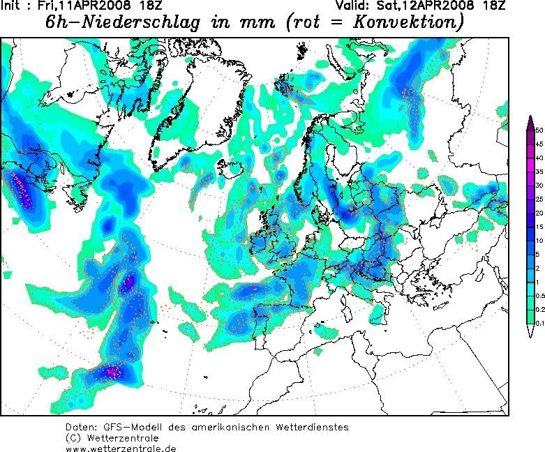
Evo ga i 18z


Sutra kakav takav stormchase izglega


